AutoCAD
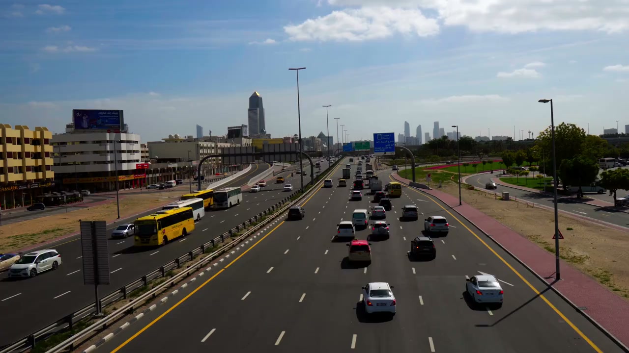
Prepare and coordinate road-layout and access drawings within the agreed design scope.

Traffic & Roads
Develop a road-design scope that reflects traffic, ground and drainage conditions.
Explore our approachTraffic & Roads
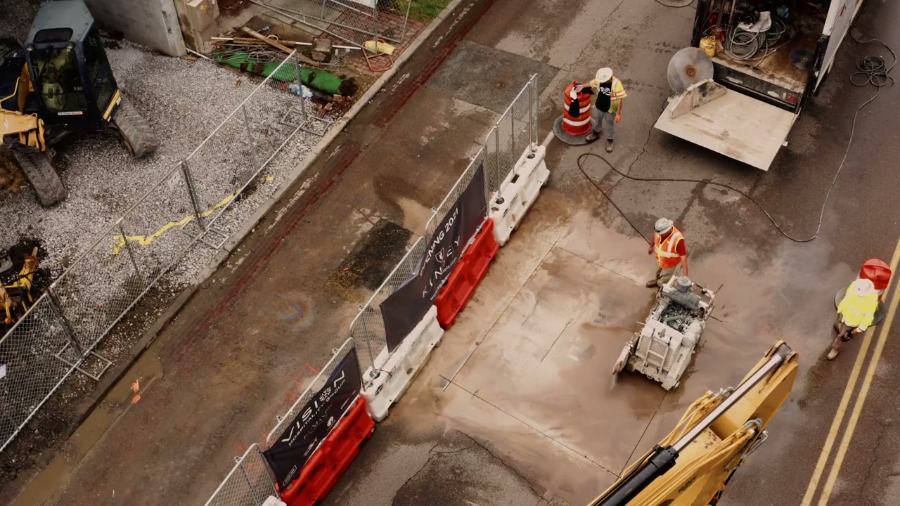
Develop a road-design scope that reflects traffic, ground and drainage conditions. Review alignment and level constraints, assess design inputs and coordinate geometric and pavement options with adjacent infrastructure. The design connects horizontal and vertical alignment with pavement demand, drainage and surrounding infrastructure. Coordinated assumptions help the project team compare buildable options, identify critical level or access constraints and prepare a technical basis that can be developed through the agreed design and review stages.
Review alignment and level constraints, assess design inputs and coordinate geometric and pavement options with adjacent infrastructure.
Service in practice
Develop a road-design scope that reflects traffic, ground and drainage conditions.
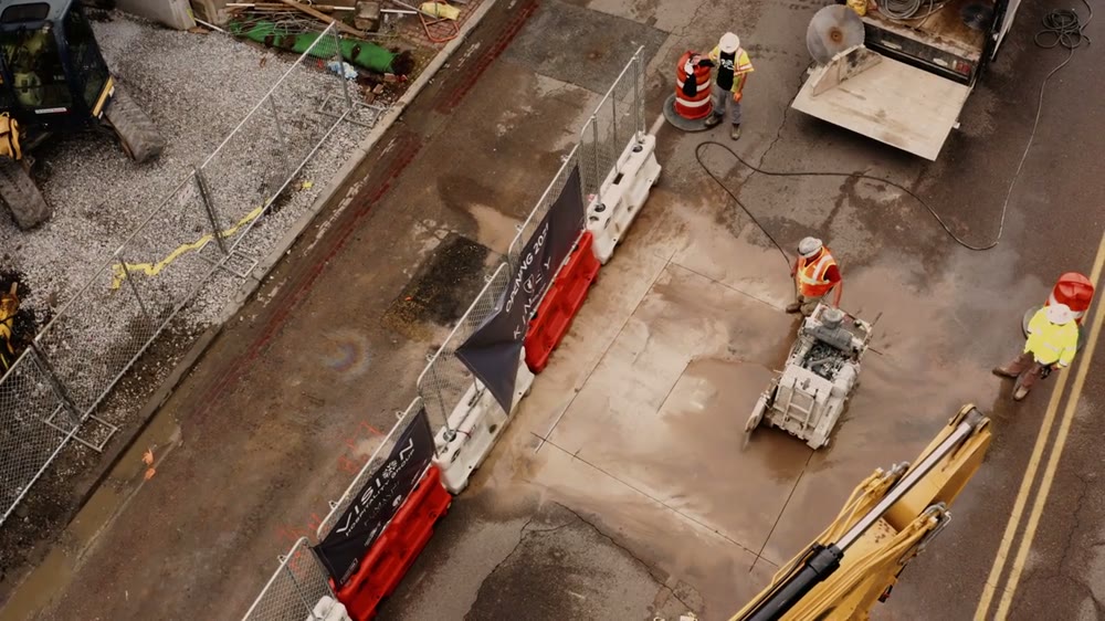
Workflow overview. Detailed methods, review stages and deliverables follow the agreed project scope.
From scope to delivery
Confirm road function, traffic loading, design requirements and the scope of geometric and pavement work.
Assess topography, ground information, drainage and access interfaces affecting the alignment and pavement options.
Compare geometry, levels and pavement arrangements with constructability and adjacent infrastructure requirements.
Document drawings, design assumptions and recommendations, identifying outstanding investigations and discipline interfaces.
What you receive
Deliverables and the level of detail are agreed for your assignment.
Detailed design stages, independent safety review and construction supervision are defined in the appointment rather than assumed within an initial design study.
Tools & methods
The methods and specialist software are selected around the question, available information and agreed scope. Assumptions and limitations remain part of the technical record.
Prepare and coordinate road-layout and access drawings within the agreed design scope.
Map the development, network context and environmental interfaces.
Organise traffic inputs, scenario assumptions and design checks.
Getting started
We will review the available evidence and define the work needed to address your project question.
Discuss your projectContinue exploring Traffic & Roads