Soil sampling
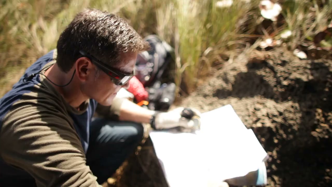
Select trial pits, augers or boreholes to investigate the conceptual site model. Record depths, lithology, sample locations and field observations.

Environmental Consulting
Investigate suspected contamination and its pathways.
Explore our approachEnvironmental Consulting
Investigate suspected contamination and its pathways. Develop a conceptual site model, plan targeted sampling, coordinate field and laboratory work and interpret the findings against the agreed assessment basis. Sampling follows a defined question about potential sources, movement and exposure. The interpretation distinguishes observed conditions from untested areas and supports decisions about further investigation, risk management or remediation without treating isolated samples as a complete description of the site.
Develop a conceptual site model, plan targeted sampling, coordinate field and laboratory work and interpret the findings against the agreed assessment basis.
Where this service fits
Investigation tests the site model through targeted fieldwork, sampling and interpretation. It establishes observed conditions and remaining uncertainty. Contaminated Land & Remediation Planning uses that evidence to evaluate risks, compare interventions and define verification requirements.
Service in practice
Investigate suspected contamination and its pathways.
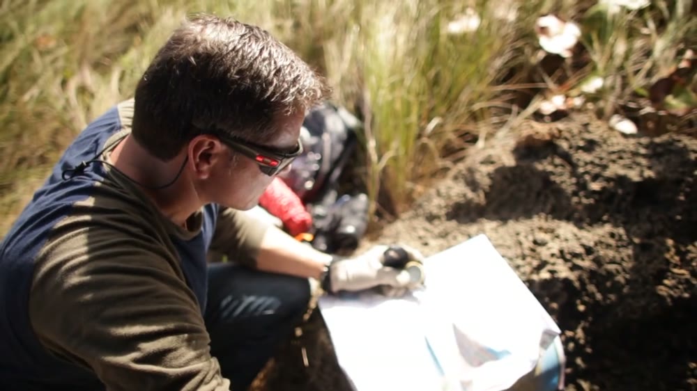
Workflow overview. Detailed methods, review stages and deliverables follow the agreed project scope.
From scope to delivery
Review land-use history, potential contaminant sources, ground conditions and pathways to people or environmental receptors.
Select sampling locations, depths, analytical parameters and quality controls to test the identified linkages.
Record ground observations, sampling methods, groundwater conditions and sample handling through the agreed investigation programme.
Evaluate analytical results within the site context and explain remaining uncertainties and recommended next steps.
What you receive
Deliverables and the level of detail are agreed for your assignment.
Investigation findings apply to the locations, depths and dates sampled; inaccessible or untested areas remain identified limitations.
Methods, instruments & outputs
Methods and instrument classes are selected to the project conditions, data needs and agreed delivery scope.
Select trial pits, augers or boreholes to investigate the conceptual site model. Record depths, lithology, sample locations and field observations.
Specify well access, water-level measurement, purging and sampling methods to the site and analytes. Record field stability parameters and relevant groundwater levels.
Use laboratory-specified glass or plastic containers, suitable preservatives, labels, coolers and decontaminated tools. Choose materials for the analytes; avoid cross-contamination.
Check accreditation for the relevant matrix and method, detection limits, blanks and duplicates. Deliver chain-of-custody records, laboratory certificates, maps and an updated conceptual site model.
Field acquisition, specialist equipment and laboratory analysis are identified in the proposal, including work undertaken by qualified delivery partners. The method statement records equipment, calibration, applicable methods and quality checks.
Tools & methods
The methods and specialist software are selected around the question, available information and agreed scope. Assumptions and limitations remain part of the technical record.
Map sampling locations, groundwater information and laboratory results; connect spatial evidence with the conceptual site model.
Getting started
We will review the available evidence and define the work needed to address your project question.
Discuss your projectContinue exploring Environmental Consulting