ArcGIS / QGIS
Map survey coverage, habitats and sensitive receptors; integrate field records, imagery and existing datasets into a consistent environmental baseline.

Environmental Consulting
Establish a reliable picture of site conditions before change occurs.
Explore our approachEnvironmental Consulting
Establish a reliable picture of site conditions before change occurs. Design surveys around the project footprint and receptors, coordinate sampling and review the quality and limits of the resulting dataset. The resulting evidence supports assessment, design and later comparison with construction or operational conditions. Survey coverage, seasonality, access constraints and data uncertainty are documented so the baseline can be used with a clear understanding of its limits.
Design surveys around the project footprint and receptors, coordinate sampling and review the quality and limits of the resulting dataset.
Where this service fits
Baseline studies coordinate the surveys and datasets that describe conditions before project change. Specialist air, water and ecology services provide their technical inputs. Impact assessment then uses that evidence to evaluate project effects; recurring monitoring tracks conditions during delivery or operation.
Service in practice
Establish a reliable picture of site conditions before change occurs.
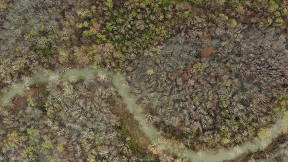
Workflow overview. Detailed methods, review stages and deliverables follow the agreed project scope.
From scope to delivery
Map the project footprint, likely influence area and receptors that require baseline information.
Select survey locations, timing, parameters and quality controls to answer the agreed assessment questions.
Arrange the specified surveys and sampling, recording methods, site conditions, observations and sample traceability.
Review data quality, describe spatial and seasonal patterns and identify remaining gaps in the baseline.
What you receive
Deliverables and the level of detail are agreed for your assignment.
A single survey campaign may not represent seasonal conditions; repeated visits are defined in the agreed survey scope.
Tools & methods
The methods and specialist software are selected around the question, available information and agreed scope. Assumptions and limitations remain part of the technical record.
Map survey coverage, habitats and sensitive receptors; integrate field records, imagery and existing datasets into a consistent environmental baseline.
Getting started
We will review the available evidence and define the work needed to address your project question.
Discuss your projectContinue exploring Environmental Consulting