AutoCAD / GIS
Coordinate ground information, layouts and engineering drawings.

Geotechnical & Infrastructure
Obtain and interpret the ground information needed for design.
Explore our approachGeotechnical & Infrastructure
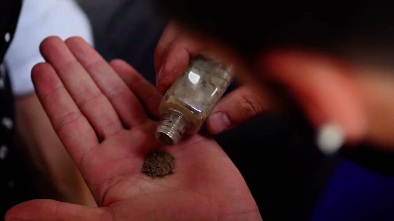
Obtain and interpret the ground information needed for design. Review site history and existing data, define targeted investigation requirements and interpret the geotechnical parameters and limitations. The investigation is designed around the engineering decisions that need to be made, rather than a fixed schedule of tests. Interpretation brings observations and laboratory evidence into a usable ground model, with uncertainty clearly identified so designers can judge where additional information could change the solution.
Review site history and existing data, define targeted investigation requirements and interpret the geotechnical parameters and limitations.
Service in practice
Obtain and interpret the ground information needed for design.
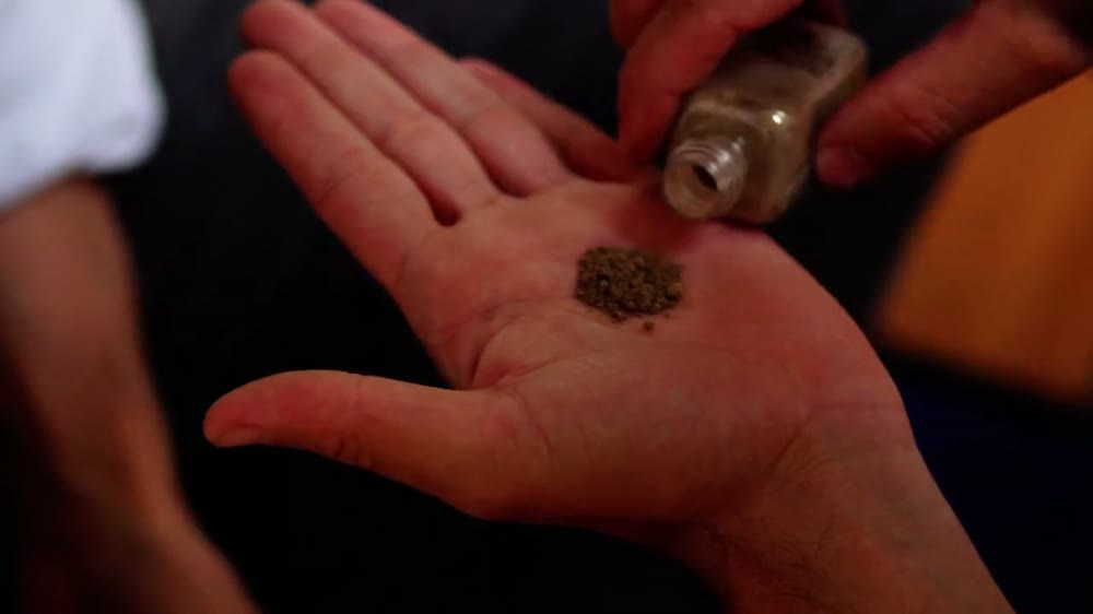
Workflow overview. Detailed methods, review stages and deliverables follow the agreed project scope.
From scope to delivery
Examine site history, geology, existing ground data and the proposed development or engineering question.
Define locations, depths, field testing and laboratory requirements suited to the anticipated ground risks.
Review logs, tests and groundwater observations for consistency, coverage and relevance to the design.
Interpret strata, engineering parameters and limitations and identify further investigation or monitoring needs.
What you receive
Deliverables and the level of detail are agreed for your assignment.
Drilling, trial pits and laboratory testing are delivered through separately defined fieldwork arrangements; interpretation records the limits of the available coverage.
Tools & methods
The methods and specialist software are selected around the question, available information and agreed scope. Assumptions and limitations remain part of the technical record.
Coordinate ground information, layouts and engineering drawings.
Getting started
We will review the available evidence and define the work needed to address your project question.
Discuss your projectContinue exploring Geotechnical & Infrastructure