AutoCAD / GIS
Coordinate ground information, layouts and engineering drawings.

Geotechnical & Infrastructure
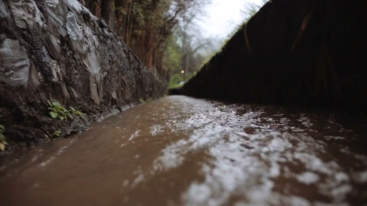
Understand runoff pathways and the capacity needed to manage them.
Explore our approachGeotechnical & Infrastructure
Understand runoff pathways and the capacity needed to manage them. Review catchments, levels and rainfall inputs, assess scenarios and compare drainage and flood-management options. The study connects catchment behaviour with the levels, structures and routes that control flooding at the site. It helps teams compare development or drainage scenarios and recognise effects on neighbouring areas, with rainfall assumptions, boundary conditions and uncertainty clearly stated alongside recommended measures.
Review catchments, levels and rainfall inputs, assess scenarios and compare drainage and flood-management options.
Service in practice
Understand runoff pathways and the capacity needed to manage them.
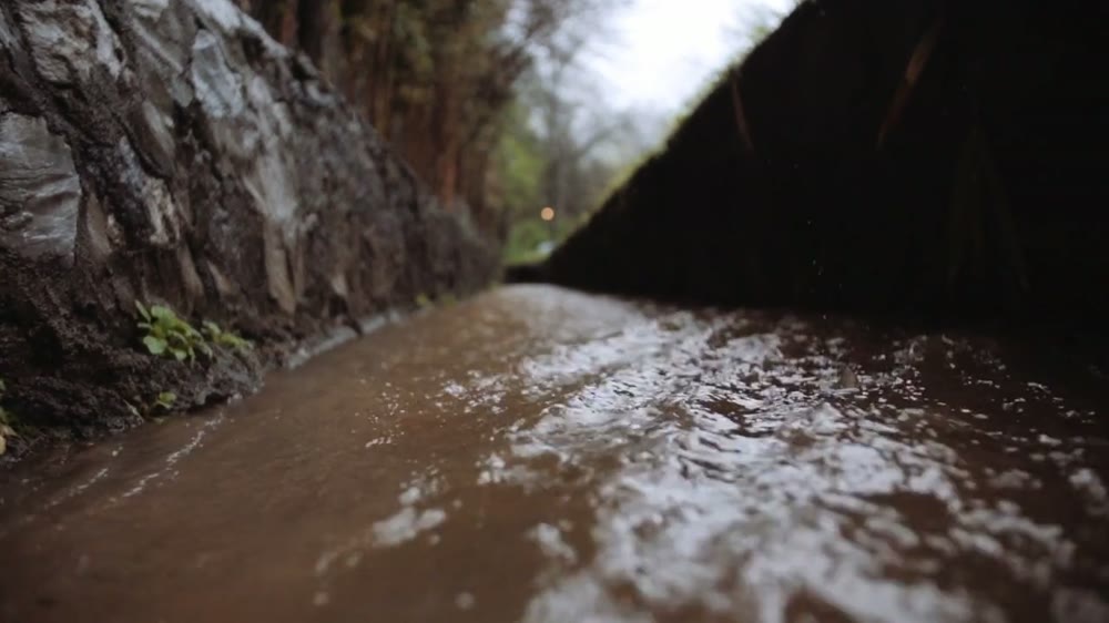
Workflow overview. Detailed methods, review stages and deliverables follow the agreed project scope.
From scope to delivery
Review topography, land cover, drainage routes and existing structures that influence runoff and flow paths.
Define rainfall, runoff assumptions, assessment events and relevant boundary conditions for the study.
Evaluate existing and proposed conditions and compare conveyance, storage and flood-management options.
Present affected areas, design implications and recommendations for drainage coordination, further data and implementation.
What you receive
Deliverables and the level of detail are agreed for your assignment.
The hydrological or hydraulic method is selected for the study; detailed drainage design and independent flood-risk certification are separately defined.
Tools & methods
The methods and specialist software are selected around the question, available information and agreed scope. Assumptions and limitations remain part of the technical record.
Coordinate ground information, layouts and engineering drawings.
Getting started
We will review the available evidence and define the work needed to address your project question.
Discuss your projectContinue exploring Geotechnical & Infrastructure