AutoCAD / GIS
Coordinate ground information, layouts and engineering drawings.

Geotechnical & Infrastructure
Resolve infrastructure interfaces before they become construction conflicts.
Explore our approachGeotechnical & Infrastructure
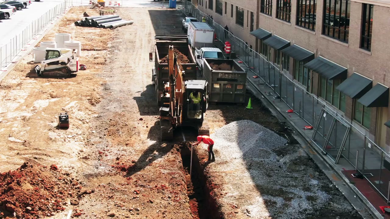
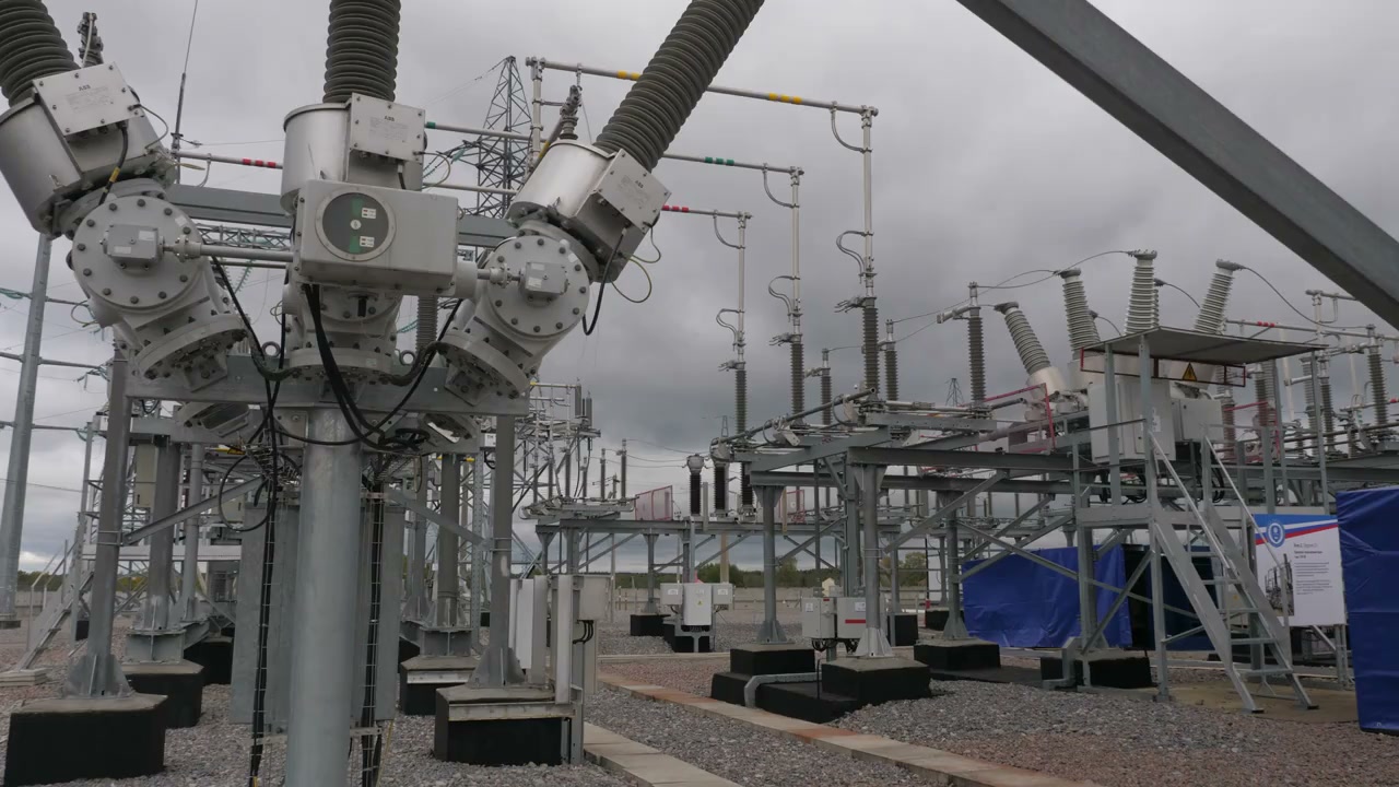
Resolve infrastructure interfaces before they become construction conflicts. Map available utility information, identify demand and corridor needs and coordinate specialist network studies and design requirements. The coordination study brings utility requirements into the same spatial and programme context as the development. It helps teams expose conflicts, missing records and decisions that depend on specialist network owners, creating a clearer route from early constraints mapping to coordinated design and construction planning.
Map available utility information, identify demand and corridor needs and coordinate specialist network studies and design requirements.
Service in practice
Resolve infrastructure interfaces before they become construction conflicts.
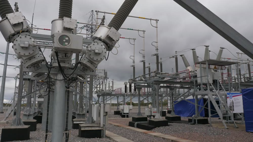
Workflow overview. Detailed methods, review stages and deliverables follow the agreed project scope.
From scope to delivery
Bring available records together and identify uncertainty in locations, depths, capacity and ownership.
Review demand assumptions, proposed connections and corridor needs with the relevant engineering disciplines.
Compare routes, levels and access requirements and record conflicts needing specialist or utility-owner input.
Prepare constraints plans and responsibility matrices, tracking decisions and information needed for the next design stage.
What you receive
Deliverables and the level of detail are agreed for your assignment.
Coordination does not verify unknown buried utilities or replace specialist electrical studies, network-owner approvals or detailed utility design.
Tools & methods
The methods and specialist software are selected around the question, available information and agreed scope. Assumptions and limitations remain part of the technical record.
Coordinate ground information, layouts and engineering drawings.
Getting started
We will review the available evidence and define the work needed to address your project question.
Discuss your projectContinue exploring Geotechnical & Infrastructure