GEO5 / GeoStudio
Assess ground stability and relevant geotechnical design scenarios.

Geotechnical & Infrastructure
Assess stability through construction and long-term operation.
Explore our approachGeotechnical & Infrastructure
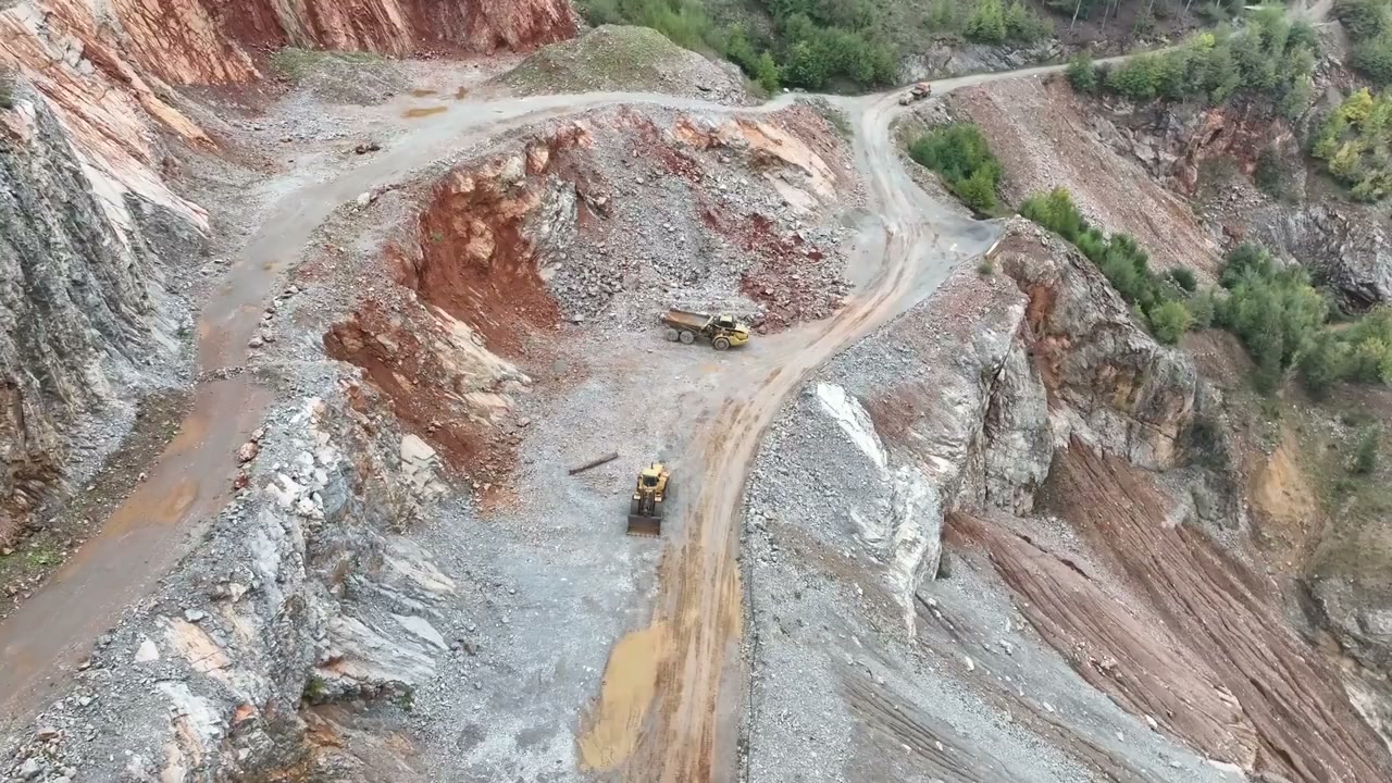
Assess stability through construction and long-term operation. Develop geological and groundwater assumptions, analyse relevant loading and construction stages and compare stabilisation options. The assessment connects slope geometry and material behaviour with water conditions and the sequence of earthworks. It helps project teams compare practical stabilisation measures, recognise critical temporary stages and identify the investigation, drainage or monitoring information needed to support reliable design decisions.
Develop geological and groundwater assumptions, analyse relevant loading and construction stages and compare stabilisation options.
Service in practice
Assess stability through construction and long-term operation.
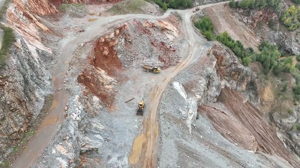
Workflow overview. Detailed methods, review stages and deliverables follow the agreed project scope.
From scope to delivery
Review geology, material parameters, groundwater and existing evidence of instability or movement.
Set out geometry, loading and construction stages, including temporary conditions that could govern performance.
Analyse the agreed cases and compare drainage, geometry changes, reinforcement or other appropriate stabilisation measures.
Present assumptions, results and requirements for construction sequence, material control and follow-up monitoring.
What you receive
Deliverables and the level of detail are agreed for your assignment.
Analysis relies on the agreed ground model; changed site conditions or construction methods require review before recommendations are applied.
Tools & methods
The methods and specialist software are selected around the question, available information and agreed scope. Assumptions and limitations remain part of the technical record.
Assess ground stability and relevant geotechnical design scenarios.
Assess soil–structure interaction and staged ground behaviour.
Coordinate ground information, layouts and engineering drawings.
Getting started
We will review the available evidence and define the work needed to address your project question.
Discuss your projectContinue exploring Geotechnical & Infrastructure