GEO5 / GeoStudio
Assess ground stability and relevant geotechnical design scenarios.

Geotechnical & Infrastructure
Develop support systems that respond to ground, water and loading conditions.
Explore our approachGeotechnical & Infrastructure
Develop support systems that respond to ground, water and loading conditions. Review geometry and neighbouring assets, assess earth and water pressures and evaluate structural and geotechnical performance. The design considers how the support system will be built and loaded, as well as how it performs in its final state. Clear interfaces with adjacent structures, anchors, drainage and excavation sequencing help the project team resolve movement and constructability questions before work proceeds.
Review geometry and neighbouring assets, assess earth and water pressures and evaluate structural and geotechnical performance.
Service in practice
Develop support systems that respond to ground, water and loading conditions.
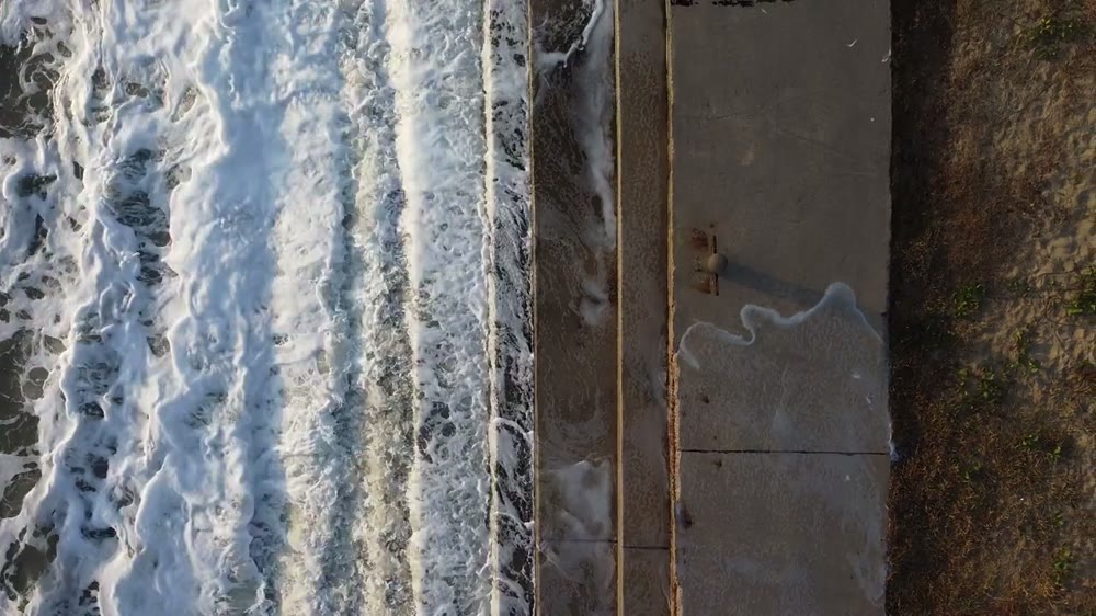
Workflow overview. Detailed methods, review stages and deliverables follow the agreed project scope.
From scope to delivery
Review retained heights, excavation levels, neighbouring assets and available space for support or anchorage.
Interpret material properties, groundwater conditions and relevant permanent or temporary surcharges.
Evaluate earth pressures, stability, embedment and movements for the proposed system and construction sequence.
Prepare calculations and drawings with drainage, sequencing and monitoring recommendations and identified design interfaces.
What you receive
Deliverables and the level of detail are agreed for your assignment.
Structural detailing, anchor permissions and temporary-works responsibilities are agreed explicitly at the design interfaces.
Tools & methods
The methods and specialist software are selected around the question, available information and agreed scope. Assumptions and limitations remain part of the technical record.
Assess ground stability and relevant geotechnical design scenarios.
Assess soil–structure interaction and staged ground behaviour.
Coordinate ground information, layouts and engineering drawings.
Getting started
We will review the available evidence and define the work needed to address your project question.
Discuss your projectContinue exploring Geotechnical & Infrastructure