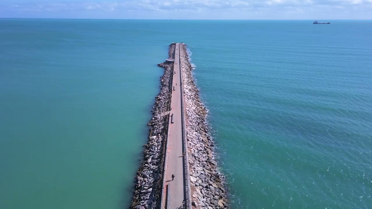
Connect coastal engineering, marine science and environmental assessment around the needs of your waterfront project. ESAC supports studies, design coordination, permitting and construction interfaces for ports, jetties, seawalls, dredging, reclamation, marine intakes and outfalls, with technical responsibilities defined for each assignment.
Marine projects bring together changing water levels, waves, currents, seabed conditions and sensitive habitats. Decisions about structures and construction methods can influence sediment movement, water quality and neighbouring assets. ESAC helps project teams establish a coordinated basis for the work, connecting survey information and engineering analysis with environmental assessment and permitting. We identify the studies needed for the site, compare relevant options and document the assumptions behind the recommendations. During delivery, the agreed scope can extend to technical reviews, environmental management and monitoring arrangements, with clear interfaces between designers, contractors and specialist survey teams.
Where we can support you.
Ports, jetties and marine structures
Review the loading, access, ground conditions and environmental interfaces that shape quay walls, jetties and related marine structures. Coordinate design information with survey requirements, construction methods and the protection of adjacent assets.
Seawalls and shoreline works
Assess coastal exposure, shoreline behaviour and asset condition to inform new works, extensions or rehabilitation. Connect structural and geotechnical considerations with waves, water levels, erosion and environmental management needs.
Dredging and reclamation
Bring sediment characteristics, proposed quantities, work methods and receiving environments into a coordinated study scope. Define dredged-material management, turbidity controls, habitat safeguards and monitoring requirements around the proposed operations.
Intakes, outfalls and receiving waters
Review how intake or discharge arrangements interact with marine conditions and nearby receptors. Use appropriate survey evidence and modelling to compare layouts, operating scenarios and environmental control measures.