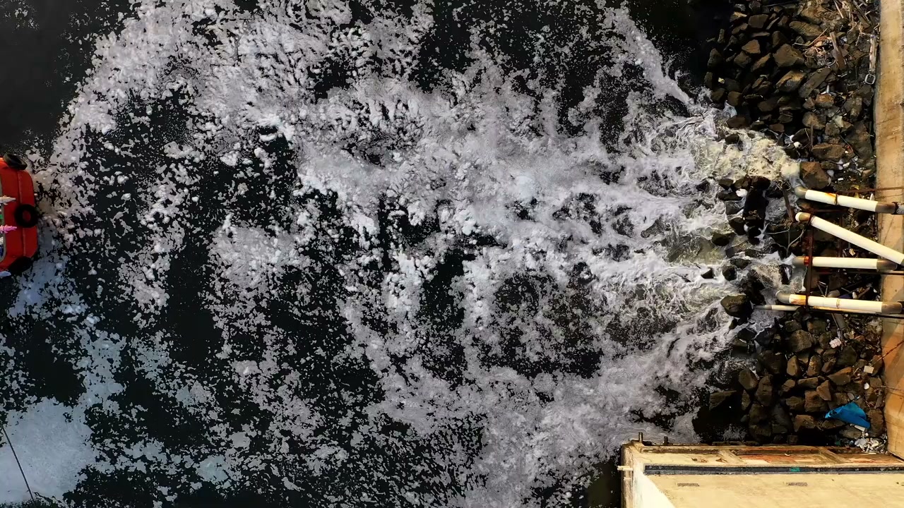
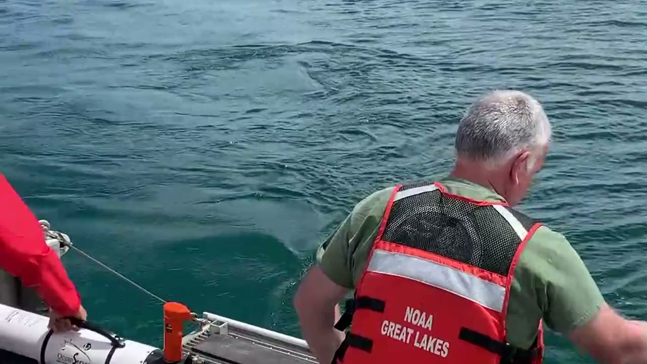
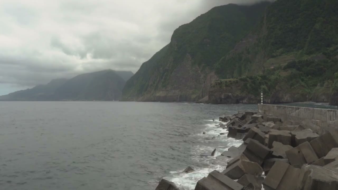
Marine water and sediment
Select CTD or multiparameter profiling, turbidity logging, water sampling and sediment grabs or cores for the receptors and works. Set monitoring stations and trigger/action arrangements where required.
Marine & Coastal
Build a marine environmental baseline and assess project interfaces.
Explore our approachMarine & Coastal
Build a marine environmental baseline and assess project interfaces. Scope habitat and water-quality work, coordinate field sampling and integrate findings with design and construction scenarios. Ecological and water-quality evidence are considered together so the project team can understand both habitat sensitivity and possible exposure. The study supports design refinement and construction planning, while recording the seasonal coverage, sampling limitations and further investigation needed for a reliable assessment.
Scope habitat and water-quality work, coordinate field sampling and integrate findings with design and construction scenarios.
Service in practice
Build a marine environmental baseline and assess project interfaces.
Workflow overview. Detailed methods, review stages and deliverables follow the agreed project scope.
From scope to delivery
Review existing marine information and proposed activities to define ecological and water-quality questions.
Agree survey methods, sampling stations, seasonal needs and quality controls around the project influence area.
Map habitats and review water or sediment findings, distinguishing observed conditions from remaining data gaps.
Assess sensitive interfaces and identify design, mitigation and monitoring inputs for the wider assessment team.
What you receive
Deliverables and the level of detail are agreed for your assignment.
Ecological survey methods and specialist species work are selected for the site; water samples alone do not establish habitat condition.
Methods, instruments & outputs
Methods and instrument classes are selected to the project conditions, data needs and agreed delivery scope.
Select CTD or multiparameter profiling, turbidity logging, water sampling and sediment grabs or cores for the receptors and works. Set monitoring stations and trigger/action arrangements where required.
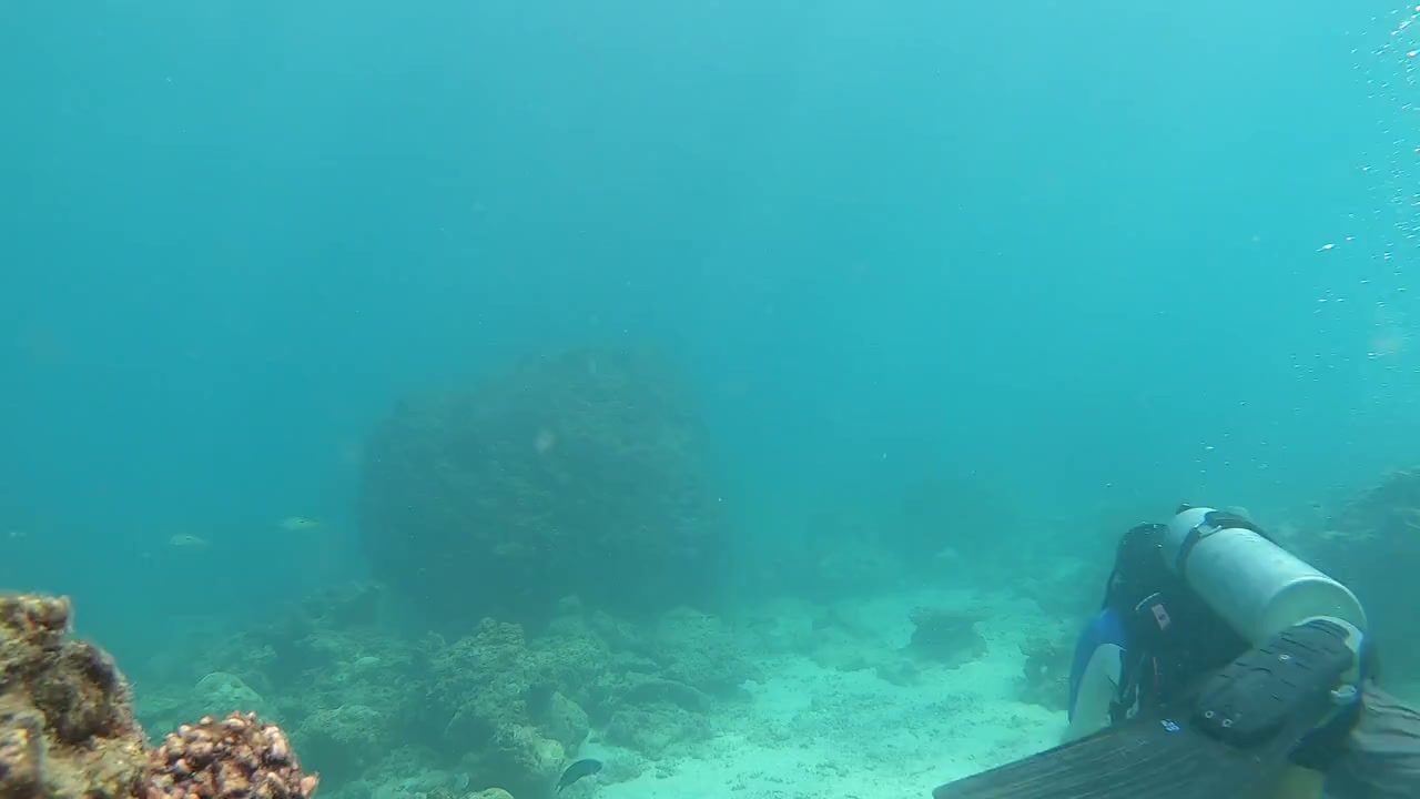
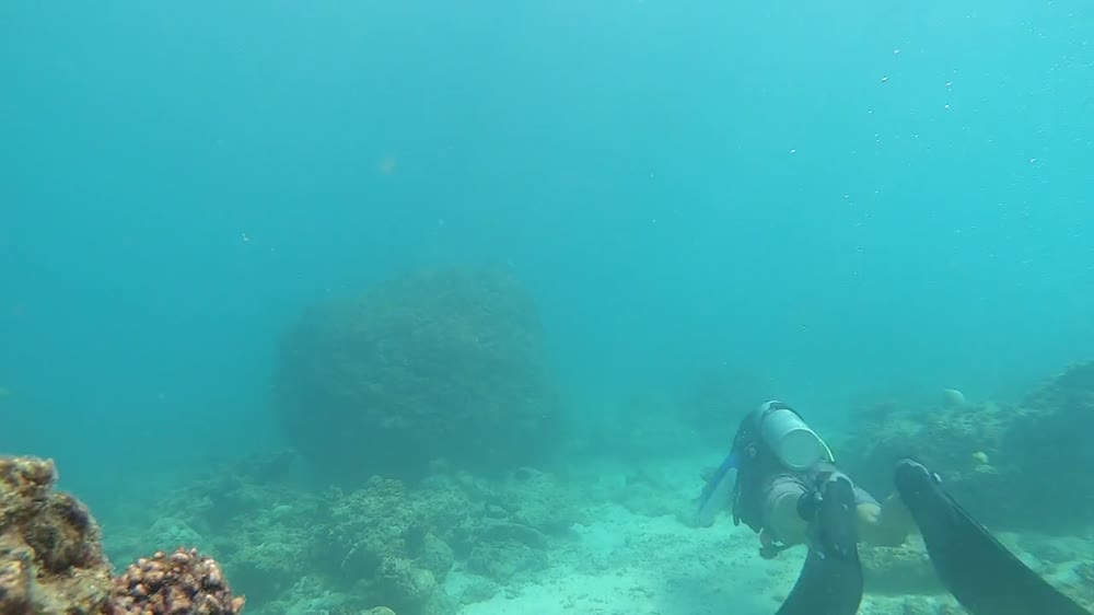
Coordinate suitable diver, video, photographic or remote survey methods for mangroves, seagrass, coral and benthic communities. Record survey effort, timing and limitations.
Integrate georeferenced observations, bathymetry and water-quality results in GIS. Keep survey detection limits and seasonal coverage visible.
Provide the marine baseline, habitat maps, validated water/sediment results and monitoring recommendations for design, dredging, construction or operation.
Field acquisition, specialist equipment and laboratory analysis are identified in the proposal, including work undertaken by qualified delivery partners. The method statement records equipment, calibration, applicable methods and quality checks.
Tools & methods
The methods and specialist software are selected around the question, available information and agreed scope. Assumptions and limitations remain part of the technical record.
Prepare drawings, survey integration and spatial deliverables.
Getting started
We will review the available evidence and define the work needed to address your project question.
Discuss your projectContinue exploring Marine & Coastal