Delft3D Flexible Mesh
Assess tidal hydrodynamics, flushing, residence time and transport processes.

Marine & Coastal
Plan dredging or reclamation with an integrated engineering and environmental scope.
Explore our approachMarine & Coastal
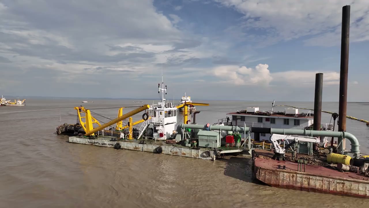
Plan dredging or reclamation with an integrated engineering and environmental scope. Review material characteristics, quantities and work methods; assess plume or sediment risks and define control and monitoring needs. The study connects material handling and construction methods with receiving-environment sensitivities. It helps teams compare workable methods, identify information needed for approvals and define controls that can be checked during execution, including responses when monitoring indicates conditions are departing from agreed expectations.
Review material characteristics, quantities and work methods; assess plume or sediment risks and define control and monitoring needs.
Service in practice
Plan dredging or reclamation with an integrated engineering and environmental scope.
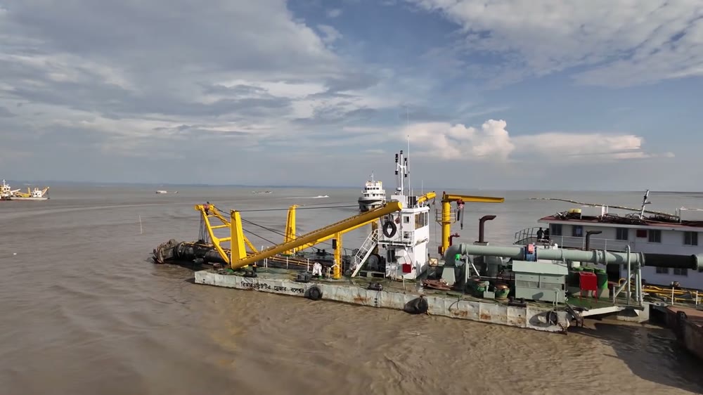
Workflow overview. Detailed methods, review stages and deliverables follow the agreed project scope.
From scope to delivery
Examine bathymetry, target levels, ground information and sediment testing to establish the dredging or reclamation basis.
Compare proposed methods, sequencing, placement or disposal routes and interfaces with surrounding assets.
Assess relevant sediment-release and water-quality scenarios in relation to habitats, intakes and other receptors.
Define practical controls, monitoring locations and response arrangements linked to the agreed work methods.
What you receive
Deliverables and the level of detail are agreed for your assignment.
Material acceptance, disposal permissions and contractor execution methods require separate confirmation through the applicable project arrangements.
Tools & methods
The methods and specialist software are selected around the question, available information and agreed scope. Assumptions and limitations remain part of the technical record.
Assess tidal hydrodynamics, flushing, residence time and transport processes.
Support hydrodynamic, wave and sediment studies using the appropriate modules.
Assess stability and soil–structure behaviour where required by the design.
Prepare drawings, survey integration and spatial deliverables.
Getting started
We will review the available evidence and define the work needed to address your project question.
Discuss your projectContinue exploring Marine & Coastal