Delft3D Flexible Mesh
Assess tidal hydrodynamics, flushing, residence time and transport processes.

Marine & Coastal
Assess the interaction between marine discharges, receiving waters and nearby receptors.
Explore our approachMarine & Coastal
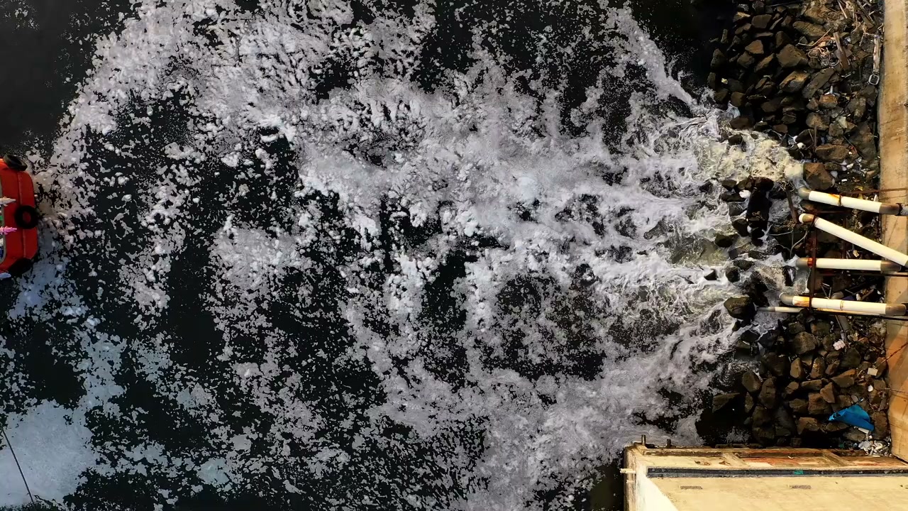
Assess the interaction between marine discharges, receiving waters and nearby receptors. Review operating conditions and water characteristics, assess discharge scenarios and compare layout or mitigation options. The assessment considers dilution and transport alongside potential recirculation and interactions with nearby uses. By linking operating assumptions to receiving conditions, the study helps engineers compare configurations and identify the environmental evidence needed to advance the preferred intake or discharge arrangement.
Review operating conditions and water characteristics, assess discharge scenarios and compare layout or mitigation options.
Service in practice
Assess the interaction between marine discharges, receiving waters and nearby receptors.
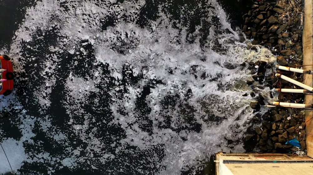
Workflow overview. Detailed methods, review stages and deliverables follow the agreed project scope.
From scope to delivery
Review flow, temperature, salinity and other relevant discharge characteristics across normal and specified operating scenarios.
Assess bathymetry, tides, currents, ambient water characteristics and nearby ecological or operational receptors.
Apply the agreed approach to mixing, transport and recirculation questions for alternative locations or configurations.
Present scenario findings and recommend layout refinements, operating controls and monitoring priorities.
What you receive
Deliverables and the level of detail are agreed for your assignment.
Near-field mixing, far-field transport and pipeline hydraulic design are distinct tasks; the required combination is agreed at scoping.
Tools & methods
The methods and specialist software are selected around the question, available information and agreed scope. Assumptions and limitations remain part of the technical record.
Assess tidal hydrodynamics, flushing, residence time and transport processes.
Support hydrodynamic, wave and sediment studies using the appropriate modules.
Prepare drawings, survey integration and spatial deliverables.
Getting started
We will review the available evidence and define the work needed to address your project question.
Discuss your projectContinue exploring Marine & Coastal