SWAN
Assess spectral wave transformation and wave conditions at the area of interest.

Marine & Coastal
Understand waves and flows before selecting a coastal intervention.
Explore our approachMarine & Coastal
Understand waves and flows before selecting a coastal intervention. Review boundary conditions and available observations, construct the model and assess sensitivity and design scenarios. Models are developed to answer a specific engineering or environmental question rather than produce maps alone. The study explains the reliability of the baseline, the response to proposed changes and the sensitivity of conclusions to uncertain inputs, supporting informed selection of design conditions.
Review boundary conditions and available observations, construct the model and assess sensitivity and design scenarios.
Service in practice
Understand waves and flows before selecting a coastal intervention.
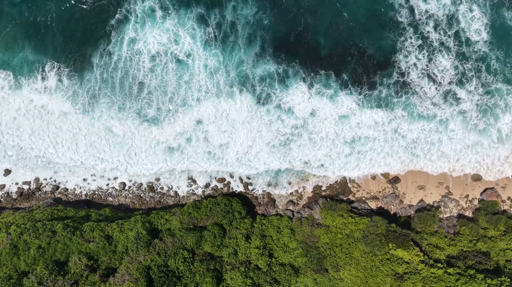
Workflow overview. Detailed methods, review stages and deliverables follow the agreed project scope.
From scope to delivery
Agree the study area, processes, scenarios and outputs needed for design or environmental assessment.
Review bathymetry, water levels, wind, waves and current observations for coverage, datum consistency and suitability.
Set up the relevant model and assess performance against available observations, with sensitivity checks for key assumptions.
Compare existing and proposed conditions and present interpretable maps, results and recommendations with documented limitations.
What you receive
Deliverables and the level of detail are agreed for your assignment.
Calibration and validation depend on available observations; model limitations are reported when suitable local measurements are unavailable.
Tools & methods
The methods and specialist software are selected around the question, available information and agreed scope. Assumptions and limitations remain part of the technical record.
Assess spectral wave transformation and wave conditions at the area of interest.
Assess tidal hydrodynamics, flushing, residence time and transport processes.
Support hydrodynamic, wave and sediment studies using the appropriate modules.
Prepare drawings, survey integration and spatial deliverables.
Getting started
We will review the available evidence and define the work needed to address your project question.
Discuss your projectContinue exploring Marine & Coastal