SWAN
Assess spectral wave transformation and wave conditions at the area of interest.

Marine & Coastal
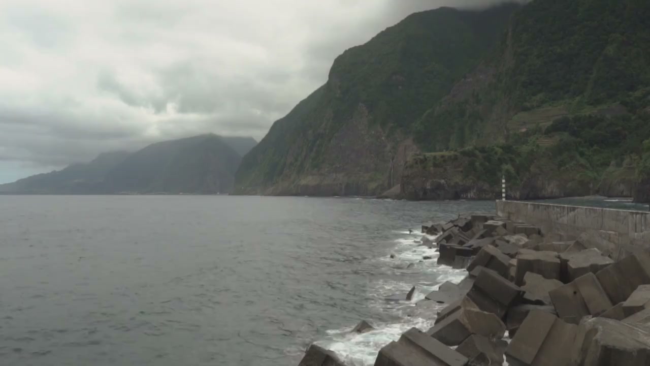
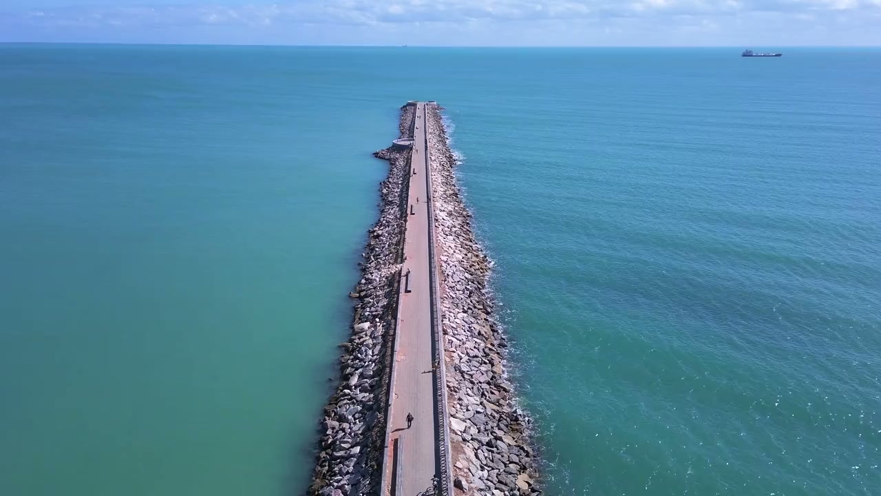
Develop structures that respond to the site’s coastal and ground conditions.
Explore our approachMarine & Coastal
Develop structures that respond to the site’s coastal and ground conditions. Establish water levels and loading, compare structural options and document stability, durability and construction considerations. The design process connects coastal exposure with ground response, asset use and the intended construction sequence. Options are developed with explicit design assumptions and interfaces, allowing the project team to compare structural performance, maintenance implications and the evidence needed before detailed design progresses.
Establish water levels and loading, compare structural options and document stability, durability and construction considerations.
Service in practice
Develop structures that respond to the site’s coastal and ground conditions.
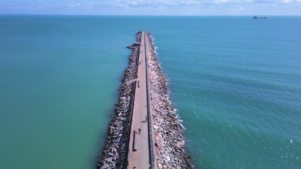
Workflow overview. Detailed methods, review stages and deliverables follow the agreed project scope.
From scope to delivery
Review bathymetry, ground data, water levels, waves and operational requirements for the proposed structure.
Consider suitable forms and layouts against loading, stability, durability, access and construction constraints.
Assess relevant structural and geotechnical behaviour, including loading combinations and construction stages within scope.
Prepare calculations and drawings with design assumptions, interfaces and requirements for further investigation or specialist design.
What you receive
Deliverables and the level of detail are agreed for your assignment.
Survey procurement, physical model testing and construction supervision are separately defined where the project requires them.
Tools & methods
The methods and specialist software are selected around the question, available information and agreed scope. Assumptions and limitations remain part of the technical record.
Assess spectral wave transformation and wave conditions at the area of interest.
Assess stability and soil–structure behaviour where required by the design.
Prepare drawings, survey integration and spatial deliverables.
Getting started
We will review the available evidence and define the work needed to address your project question.
Discuss your projectContinue exploring Marine & Coastal