Single- and multibeam echo sounding
Choose line-based depth measurements or swath coverage according to the required coverage, feature detection, depth, accuracy and project purpose.
Marine & Coastal
Obtain survey information that can be used consistently across the design team.
Explore our approachMarine & Coastal
Use reliable water-depth and seabed information to support coastal design, dredging, navigation and environmental studies. ESAC defines the survey specification, coordinates specialist acquisition and reviews the data against the intended use. Method selection considers depth, seabed complexity, required coverage, resolution, access and survey uncertainty. Survey control, vertical datum and data quality are carried consistently into the engineering and environmental deliverables.
Define coverage, resolution and datum requirements; coordinate specialist surveys and quality-review delivered data.
Service in practice
Obtain survey information that can be used consistently across the design team.
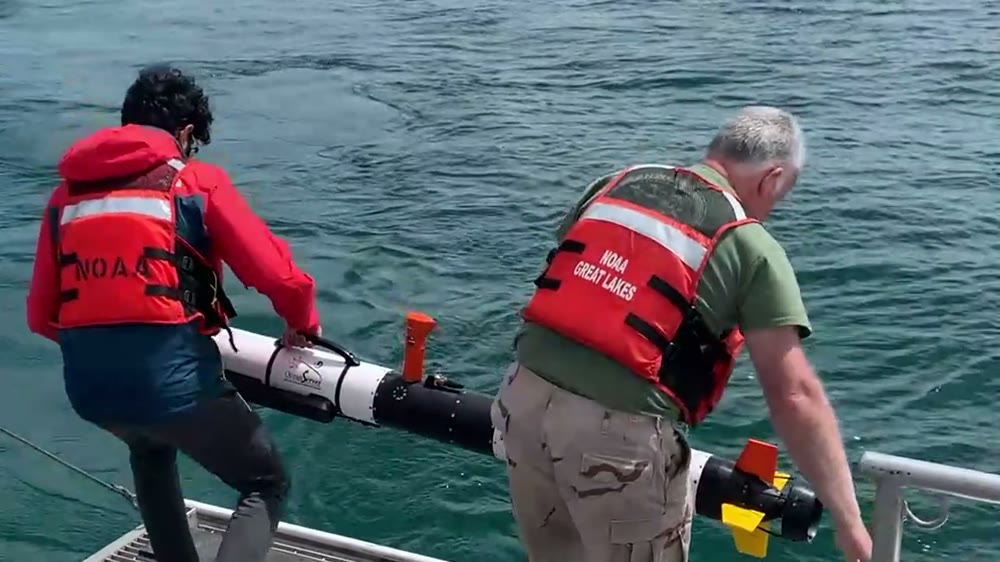
Workflow overview. Detailed methods, review stages and deliverables follow the agreed project scope.
From scope to delivery
Define the boundary, required feature detection, depth and position accuracy, horizontal and vertical datums, output formats and intended design uses. Agree any applicable IHO S-44 survey order in the brief.
Select single- or multibeam echo sounding and the appropriate positioning, motion and sound-velocity equipment with the specialist survey team. Plan line spacing, cross-lines, access and quality checks.
Review calibration and alignment records, sound-velocity and water-level corrections, datum transformations, coverage, outliers, cross-line agreement and uncertainty.
Coordinate bathymetric charts, validated XYZ or point-cloud data, terrain models, GIS/CAD layers and a survey quality report. Identify data limitations before design or quantity calculations proceed.
What you receive
Deliverables and the level of detail are agreed for your assignment.
Vessel provision, specialist instruments, field acquisition and processing software are agreed with the appointed survey team. Complementary geophysical and environmental surveys are selected separately where needed.
Methods, instruments & outputs
Methods and instrument classes are selected to the project conditions, data needs and agreed delivery scope.
Choose line-based depth measurements or swath coverage according to the required coverage, feature detection, depth, accuracy and project purpose.
Coordinate GNSS/RTK or other suitable positioning, motion and heading sensors, sound-velocity profiles and water-level observations. Document horizontal and vertical reference systems and corrections.
Specify side-scan sonar for seabed imagery, sub-bottom profiling for shallow strata, ADCP for currents, or CTD for water-column properties where relevant. These measurements complement the bathymetry.
Review alignment/calibration records, cross-lines, sound-velocity corrections, coverage and uncertainty. Deliver charts, XYZ or point clouds, terrain models, GIS/CAD layers and the survey report.
Agree the survey contractor’s acquisition and processing platform and version in the method statement. Use AutoCAD, ArcGIS or QGIS for coordinated engineering and spatial handover.
Connect the accepted dataset to coastal design, dredging quantities, marine structures and environmental assessment. Record assumptions before combining surveys collected at different dates or datums.
Field acquisition, specialist equipment and laboratory analysis are identified in the proposal, including work undertaken by qualified delivery partners. The method statement records equipment, calibration, applicable methods and quality checks.
Tools & methods
The methods and specialist software are selected around the question, available information and agreed scope. Assumptions and limitations remain part of the technical record.
Prepare drawings, survey integration and spatial deliverables.
Getting started
We will review the available evidence and define the work needed to address your project question.
Discuss your projectContinue exploring Marine & Coastal