SWAN
Assess spectral wave transformation and wave conditions at the area of interest.

Marine & Coastal
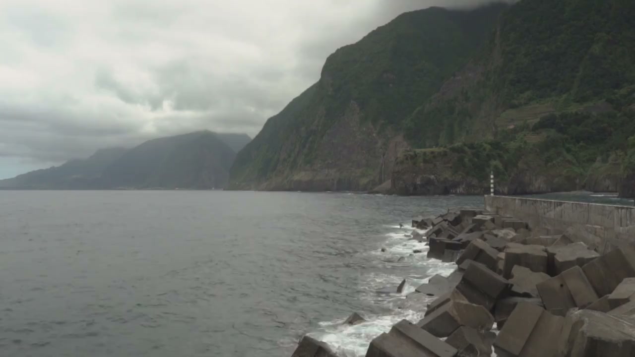
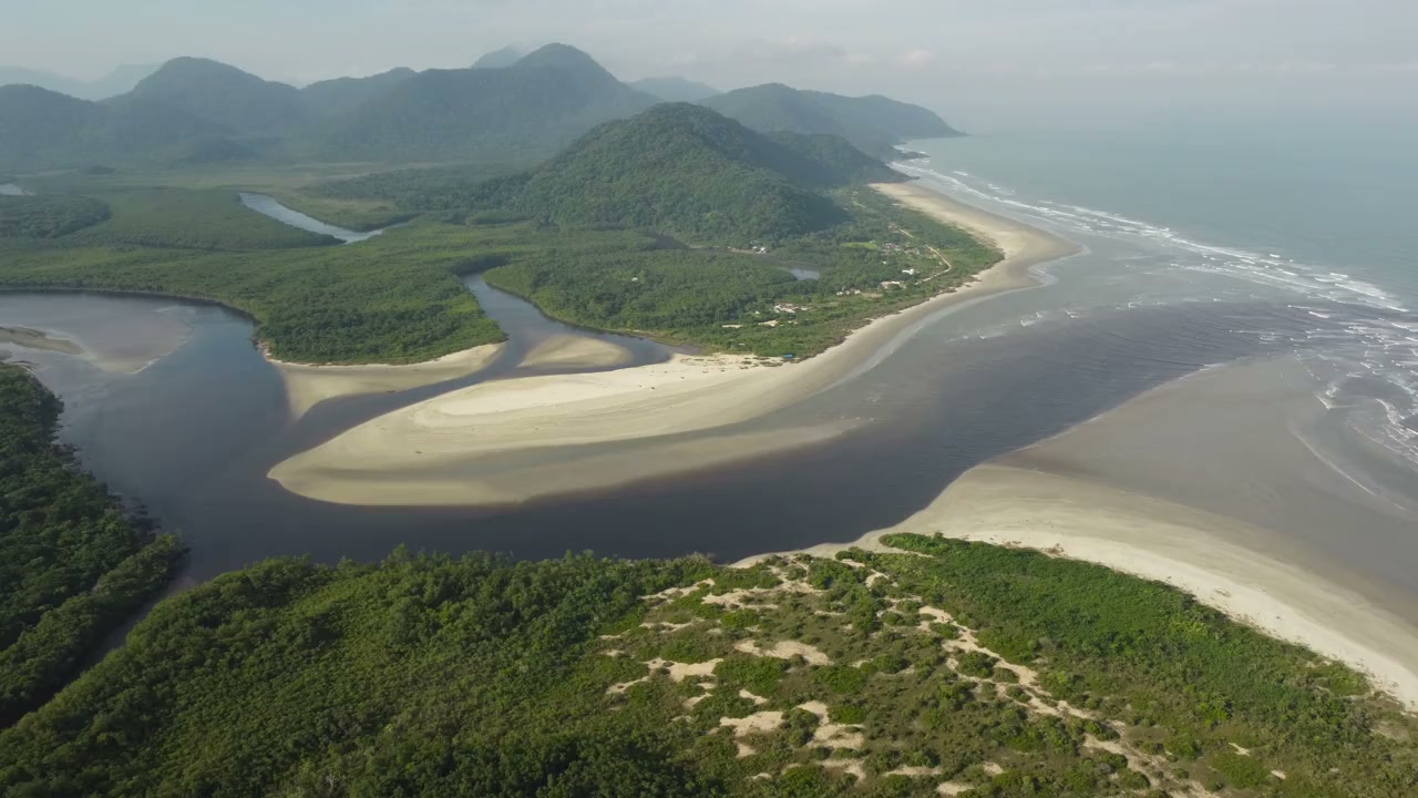
Assess how coastal works may change erosion, deposition and beach behaviour.
Explore our approachMarine & Coastal
Assess how coastal works may change erosion, deposition and beach behaviour. Review sediment sources and shoreline evidence, model relevant processes and compare intervention options. The study considers how sediment moves through the wider coastal system as well as within the immediate project footprint. This helps identify potential effects on neighbouring shorelines and supports decisions about intervention layout, nourishment, maintenance dredging or longer-term monitoring.
Review sediment sources and shoreline evidence, model relevant processes and compare intervention options.
Service in practice
Assess how coastal works may change erosion, deposition and beach behaviour.
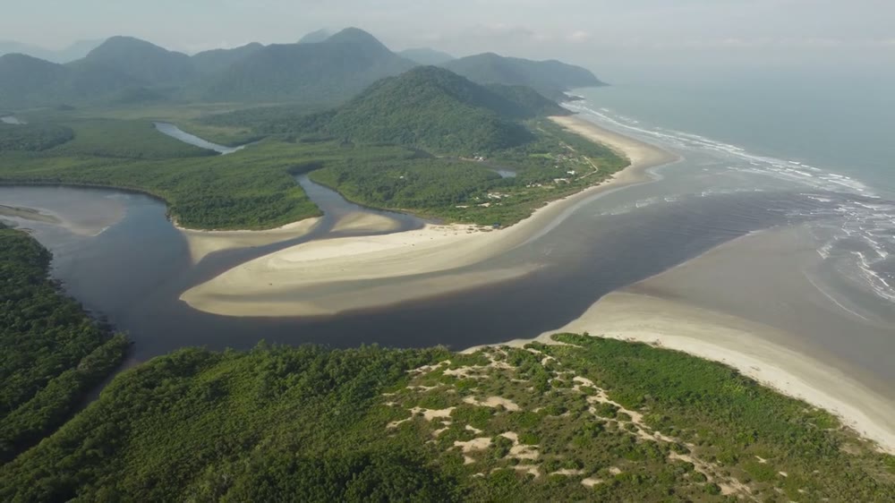
Workflow overview. Detailed methods, review stages and deliverables follow the agreed project scope.
From scope to delivery
Compare historical imagery, surveys and records of erosion, accretion, dredging and coastal interventions.
Characterise sediment properties, sources, pathways and the wave or flow conditions that drive movement.
Evaluate how proposed works may alter transport and shoreline behaviour using the agreed analytical or numerical approach.
Compare interventions and monitoring needs, explaining uncertainty, maintenance implications and potential effects beyond the site.
What you receive
Deliverables and the level of detail are agreed for your assignment.
Shoreline predictions represent defined scenarios and time horizons; natural variability and incomplete sediment records can limit precision.
Tools & methods
The methods and specialist software are selected around the question, available information and agreed scope. Assumptions and limitations remain part of the technical record.
Assess spectral wave transformation and wave conditions at the area of interest.
Assess tidal hydrodynamics, flushing, residence time and transport processes.
Support hydrodynamic, wave and sediment studies using the appropriate modules.
Prepare drawings, survey integration and spatial deliverables.
Getting started
We will review the available evidence and define the work needed to address your project question.
Discuss your projectContinue exploring Marine & Coastal